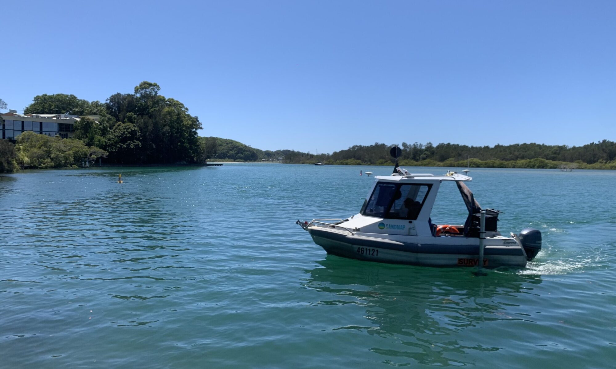
At SandMap, we specialise in providing high-precision hydrographic surveys across Australia. From mapping sediment movement to detailed seabed characterisation, we offer a professional, reliable service to support a wide range of projects. With a fleet of specialised commercial vessels and cutting-edge technology, we are equipped to reach the most remote and challenging environments, ensuring accurate results every time. Whether it’s for coastal, river, or offshore surveys, our experienced team is dedicated to delivering quality data that helps our clients make informed decisions and achieve successful outcomes. Explore our services and discover how we can assist with your next project.
PROJECTS
Some of our project locations are shown on the map below. While we are Gold Coast based, we love to travel all over Australia for hydrographic survey projects.
services


OUR CLIENTS
Who we team up with.

contact us
Call us on 0409 924 599 or email us on info@sandmap.com.au. We’d love to help!

