Mapping the Sand — this is what inspired the creation of SandMap back in 2017. The understanding of sand movement, a vital resource in the regions of northern NSW and south-east Queensland, our home, was the foundation of our mission. Our goal was to improve numerical modelling outcomes significantly by making it possible to supply full coverage accurate bathymetry efficiently in shallow water – something we are proud to say continues to be a focus as we see this requirement becoming a strong trend after demonstrable improvements in model accuracies.
Today, SandMap has evolved into a leading hydrographic survey company delivering much more than sand monitoring, and to all over Australia. We are dedicated to providing precise, reliable data that delivers measurable outcomes for our clients and the marine environment.
Our services include multibeam, single beam (including surf zone), sub bottom profiling, side scan, LiDAR, and all supporting services. While we are strong advocates for full coverage multibeam data where practical, we recognise that simpler technologies have their place and we offer practical and efficient solutions for all types of projects.
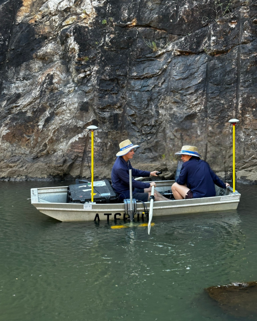
Our hydrographic survey team brings a diverse range of backgrounds and expertise, including marine science, oceanography, and GIS. This multidisciplinary knowledge ensures our team is well-equipped to handle complex hydrographic projects across various marine environments, enabling us to overcome challenges, even in the most remote or difficult-to-access locations, while consistently delivering thorough, dependable data.
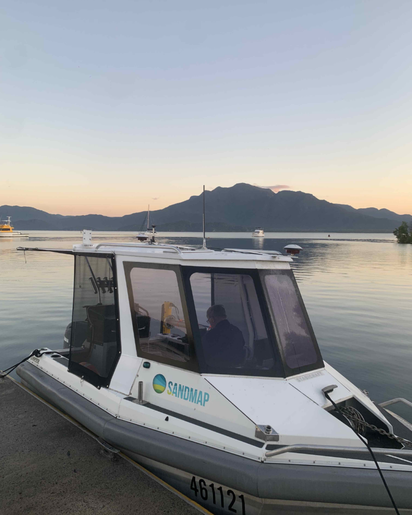
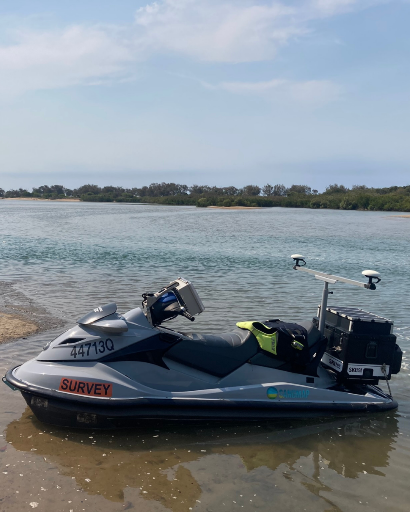
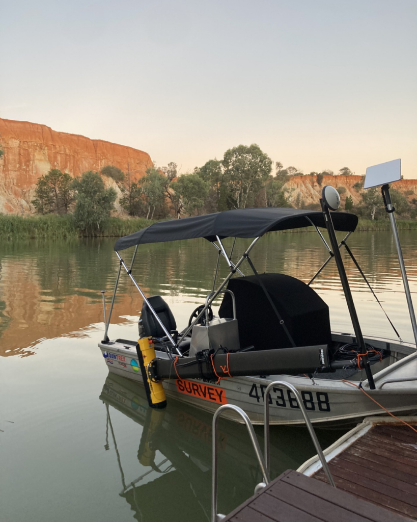
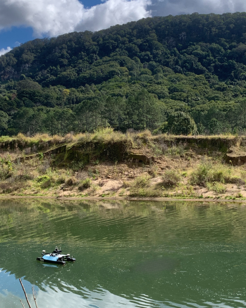
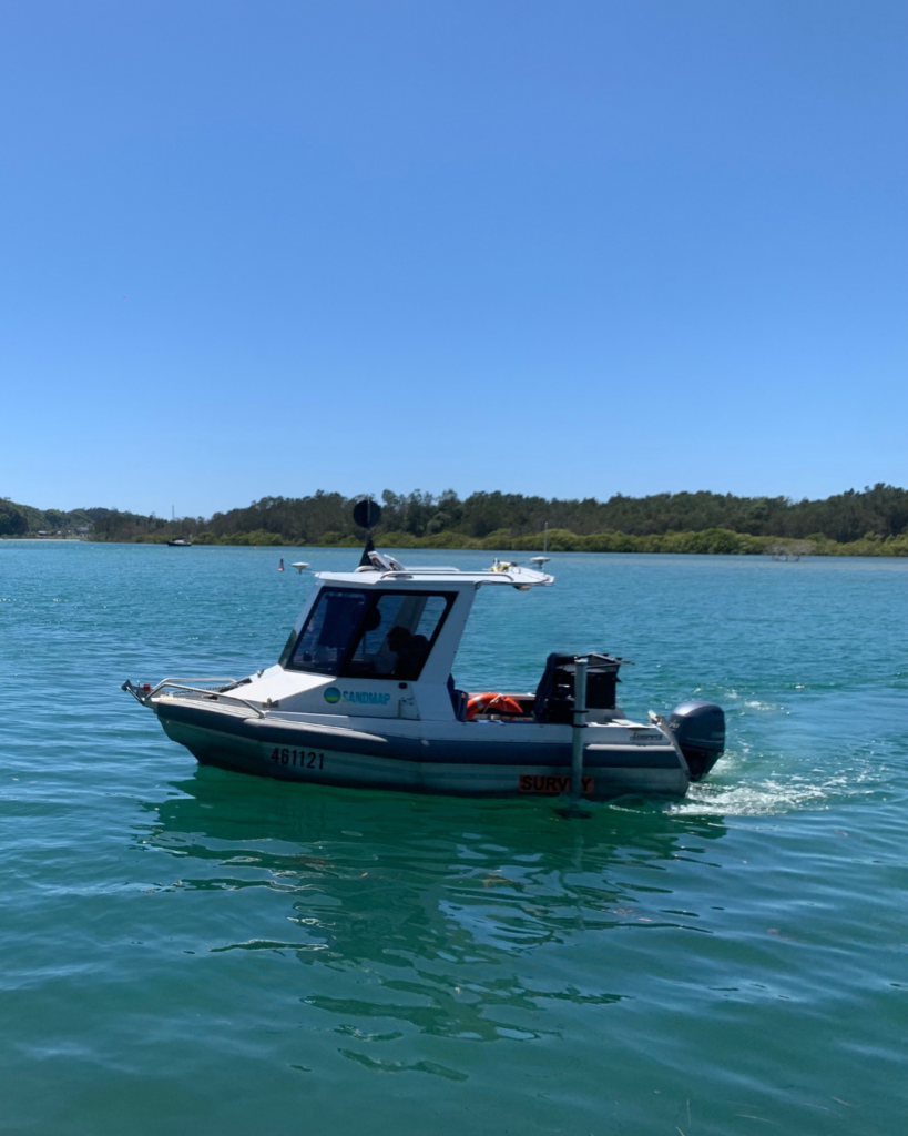
From shallow rivers and dams 500km from the coast to offshore environments, we cover it all. Our fleet of specialised commercial vessels, ranging from small aluminium vessels to larger, capable offshore vessels and customised PWC’s, allow us to reach even the most inaccessible areas, ensuring accurate data in every setting.
Our approach is grounded in a strong commitment to sustainability and quality, ensuring that each project contributes to positive environmental outcomes. Whether operating in familiar waters or navigating uncharted territories, we strive for excellence, innovation, and a relentless dedication to the marine environment.
Sandpiper equipped with MBES EdgeTech
SandMap1 equipped with MBES Bathyswath2
Sandxplorer equipped with Portus pole and MBES EdgeTech
Maritime robotics USV equipped with PingDSP
Sandtini equipped with MBES EdgeTech
Sandpiper equipped with USM and Norbit i80s
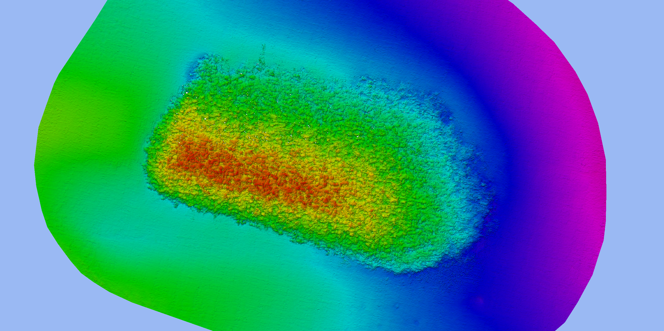
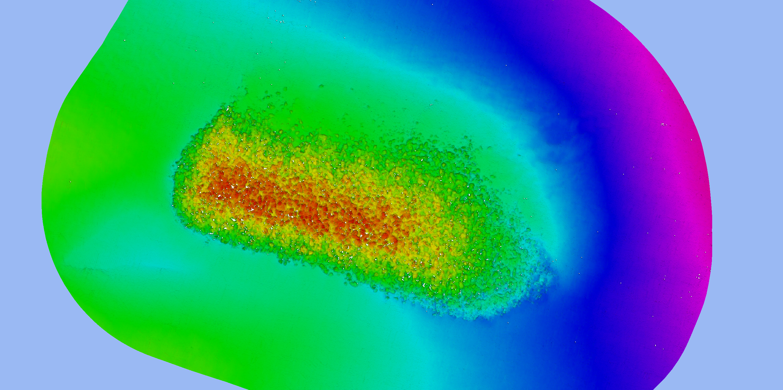
PALM BEACH REEF
The slider tool below is an example of full coverage data acquired using one of our PWCs during the monitoring phase of an artificial reef project. The survey on the left was conducted in August 2020, with the second survey taking place in January 2021. As well as analysis of sand movement, the surveys were also used to monitor the movement of the reef at individual rock levels.