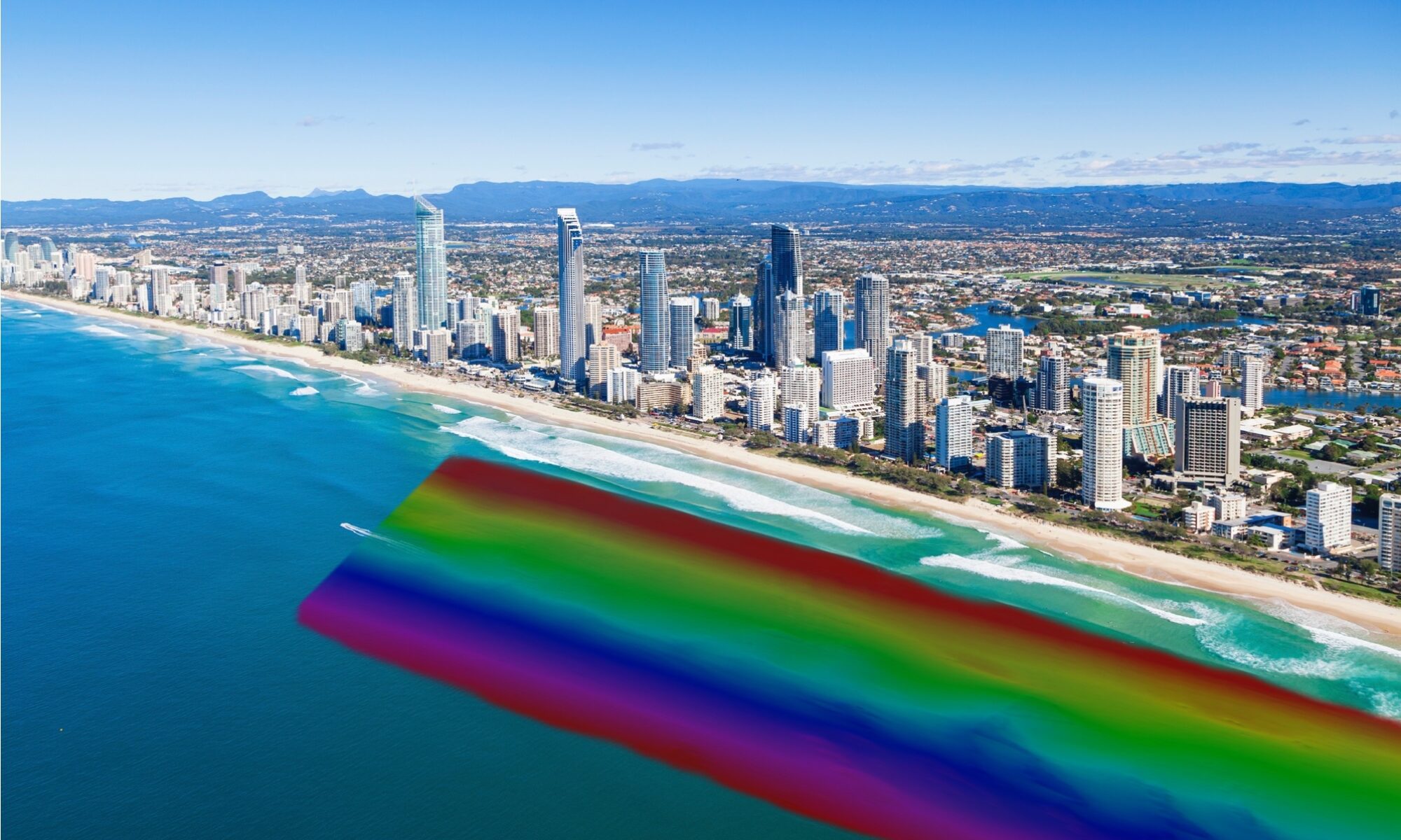
As the name suggests, at SandMap we are focused on mapping sand, that precious resource that our home region of South East Queensland/ Northern NSW relies so heavily on…
We have developed a suite of technologies that, in combination, make our equipment the most specialised available for the purpose of mapping sand movement quickly and efficiently in shallow water or the near shore surf zone. However we can cost effectively map almost anywhere and our systems are able to collect at swath widths of up to 12 x depth in many cases.
We offer interferometric, conventional multi beam and hybrid sonar equipment to suit any task in shallow or offshore. Equipment utilised on projects to date include:
- Bathyswath 2
- Norbit i77h Winghead
- Ping DSP
- Edgetech 6205s2
Our inertial navigation system with integrated GPS and dual antennae are designed to accurately determine our position and adjust for swell conditions that traditionally have prevented survey.
SandMap’s vessels include a specially modified Seadoo GTX jetski designed to launch and retrieve quickly and easily, survey in places where other vessels can’t, and operate comfortably in testing sea conditions and a customised Stabicraft 5m survey vessel with state of the art sonar mounting system.


We collect data to:
- assist coastal engineers from government, universities and private industry to make better quality interventions in natural coastal processes
- help skippers safely navigate entrances and other waterways
Coastal Data Innovation for Better Beaches and Better Boating
