Below are some examples of SandMap’s recent Marine Infrastructure Projects
Sanctuary Cove Marina

Nambucca Breakwall

Port Macquarie South Breakwall

Runaway Bay Marina

Jacobs Well Boat Ramp

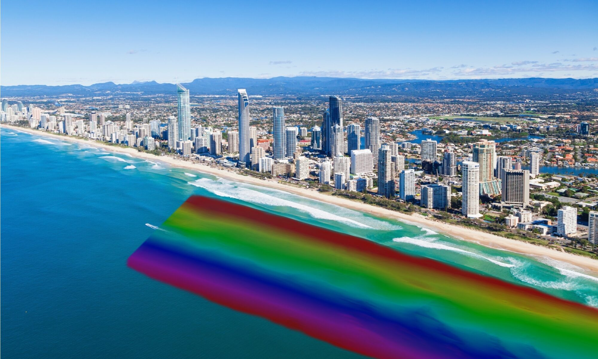
Gold Coast Queensland Hydrographic Survey Specialists
Below are some examples of SandMap’s recent Marine Infrastructure Projects
Port Macquarie South Breakwall